I do hope to try and learn how to work the scripts in the editor.
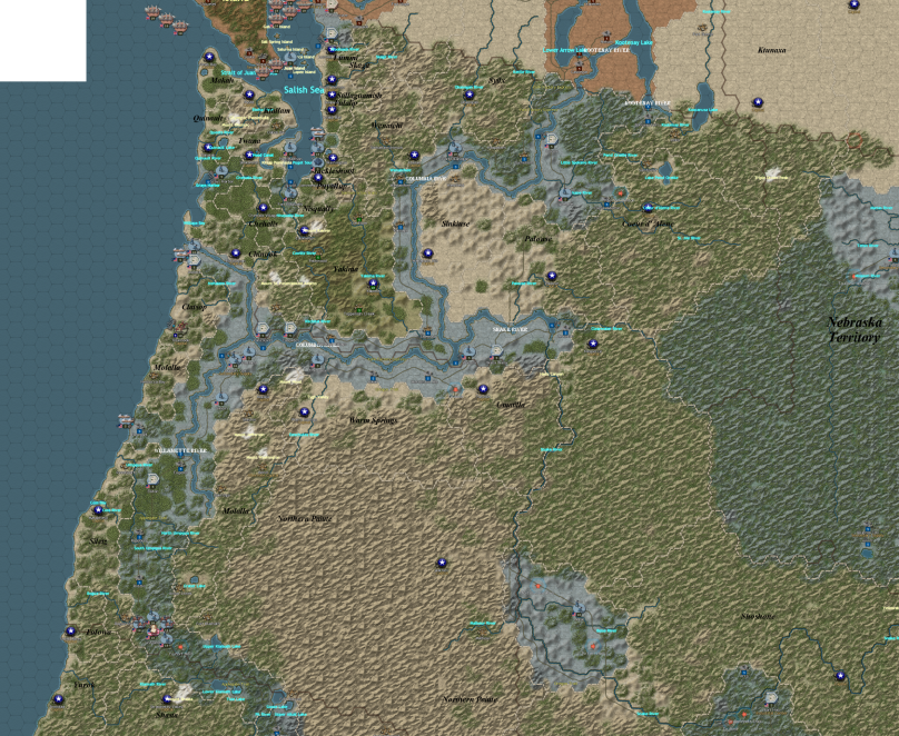
This is what I plan for the map to cover.
Moderator: Saint Ruth


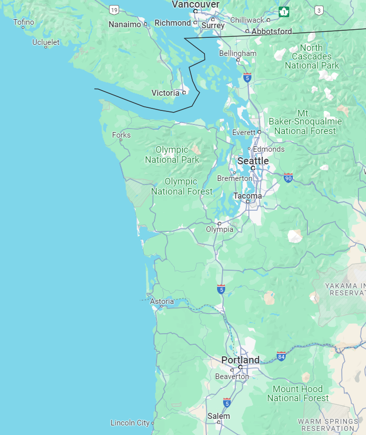
That's correct about Nisqually.Platoonist wrote: ↑Fri May 03, 2024 1:21 pm Portland, Oregon could be considered a town at the time. However, most of the major cities on Puget Sound like Tacoma, Everett, and Bremerton didn't exist yet. Seattle was essentially a logging operation with some houses and shacks.
Even Fort Nisqually was just a wooden palisade fort. It was really more of a trading post for furs than a military post and might be considered a settlement.

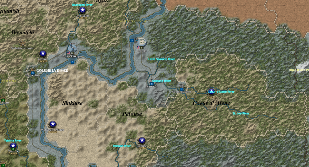
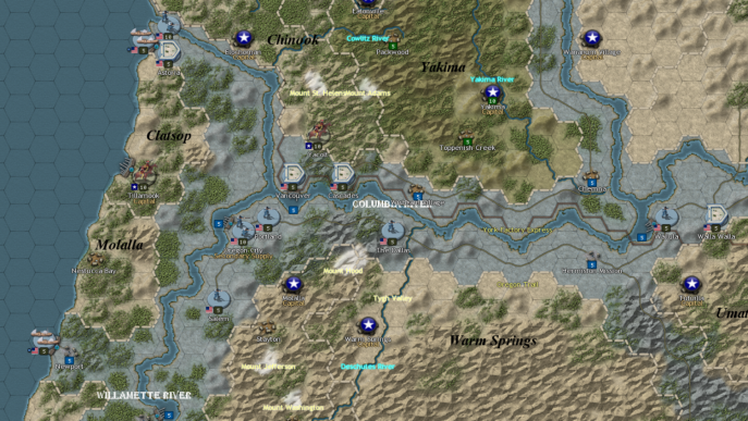
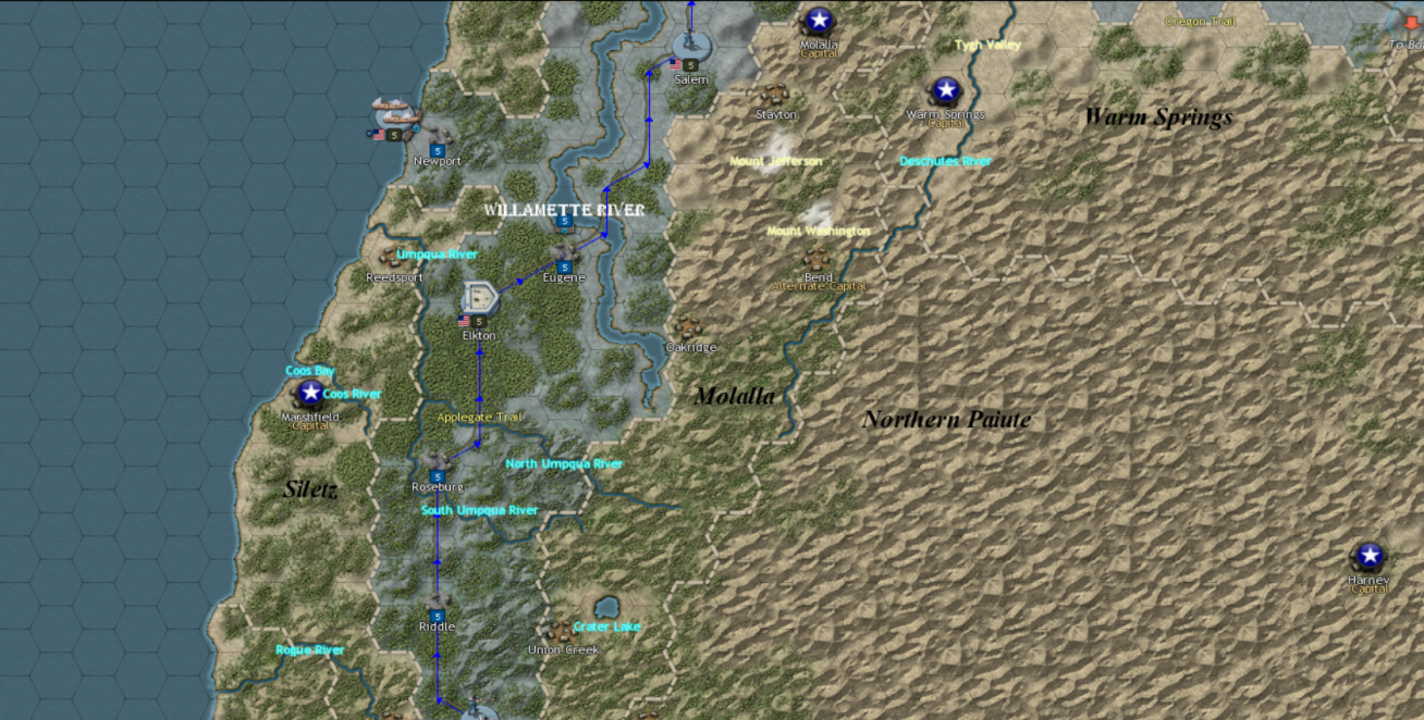
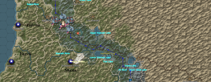
As a Cascadian I can easily say this map has butchered the great PNW.Platoonist wrote: ↑Sat May 04, 2024 1:30 am So far, all the proposed Washington maps seem to be more accurate than this one.
Washington Territory 1939.jpg

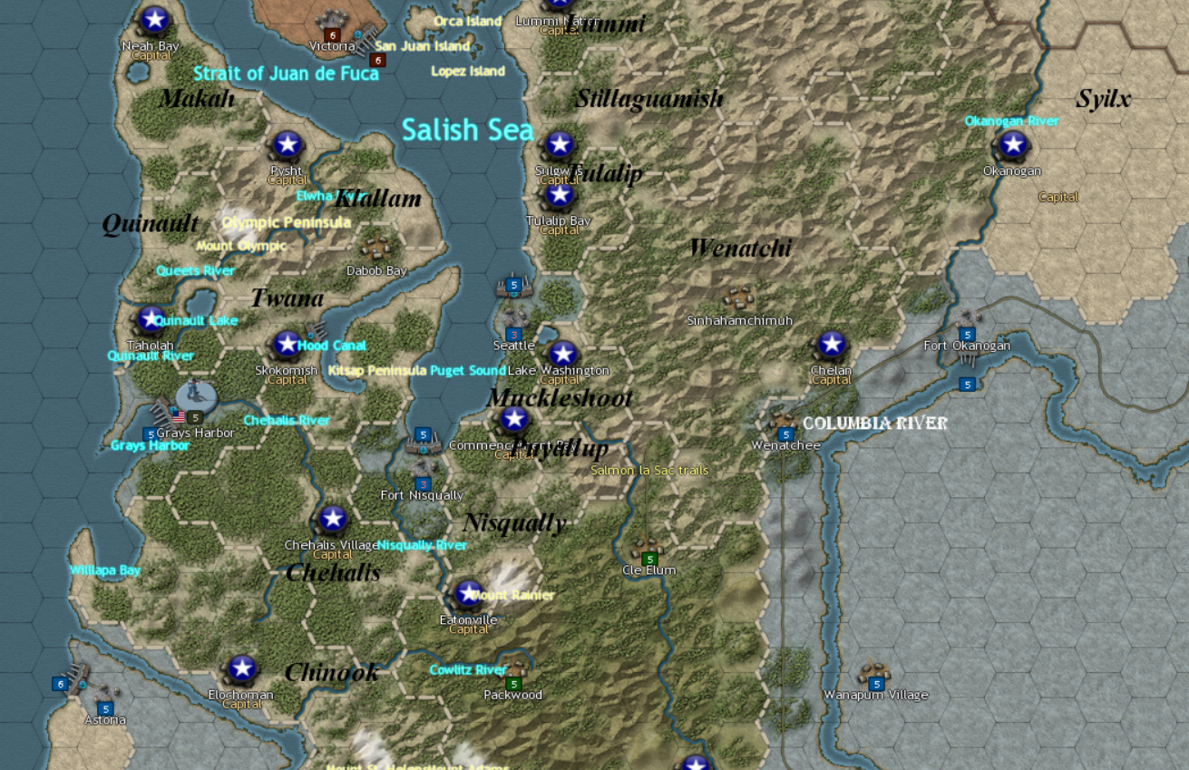
Brilliant. It's late and I look at this more later.PharaohVirgoCompy wrote: ↑Tue May 07, 2024 1:58 pm I done the Puget Sound Area, not fully sure what I'm doing so feedback would be appreciated